I can't help but wonder how intimadating these canyons must have looked to the first settlers. There were no roads then and they had only wagons and draft animals to get them through.
I'm sure the trails weren't quite as well marked back then either.
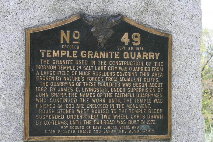
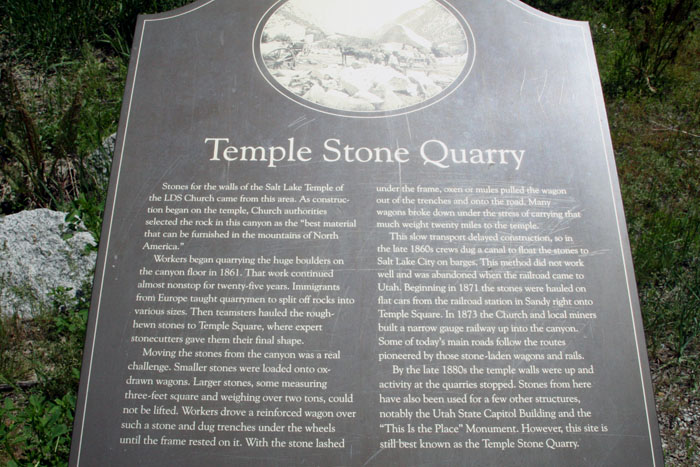
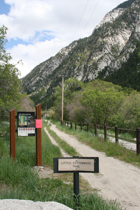
We found the marker to the Quarry trail.
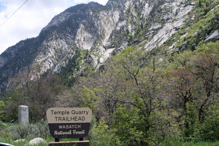
The marker below tells a bit of interesting history about the quarry. After talking to rangers and asking folks about the local history, we learned that the rocks that were quarried weren't blasted from the cliffs.
They were already laying there on the ground. What's interesting about that is these huge boulders had fallen from up high, nearer the peaks, where the stone was much more dense and made better building material.
The Lord had prepared these stones for His temple many centuries prior to their use.
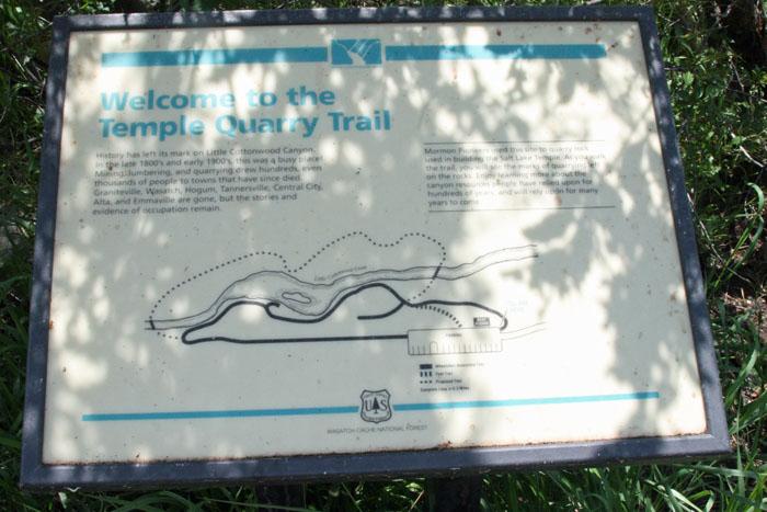
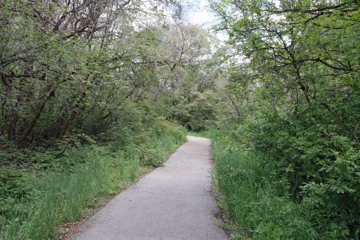
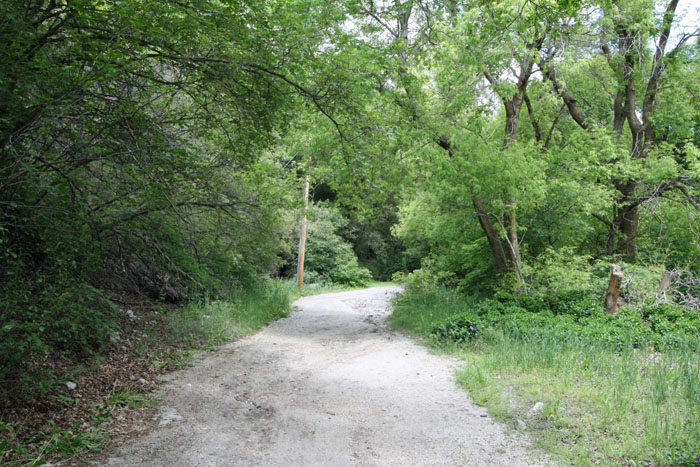
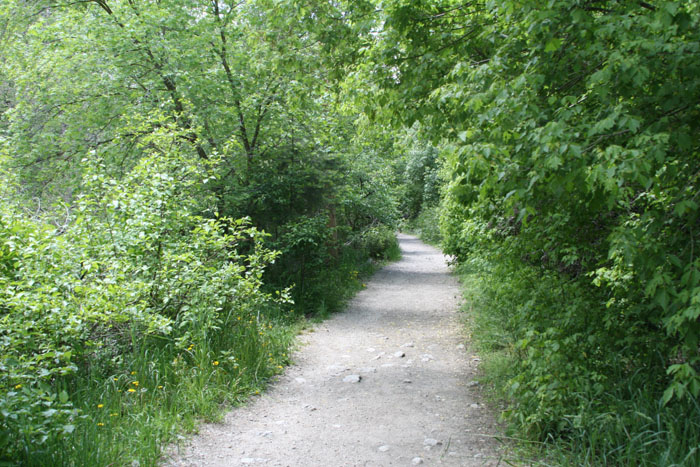
Here's a pic of the trail we followed. It forms a loop.
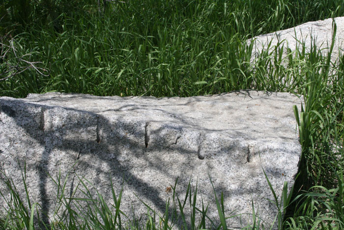
All along the trail we would occasionally see stones like this one which showed signs of manual drilling. The hand-held drill point looks like two pointed chisels welded to form a cross or star shape. That's why they're often called star drills.
You have to pound them with a hammer, turn a quarter turn, and pound them again. Now and then, you have to clean the debris from the drill hole.Once the hole was deep enough the workers drilled another next to it, then another, then another. A slow process to be sure.
In each hole 3 metal objects were placed. Two looked like inverted "J" shaped flat irons. A small wedge was placed between these flat pieces. Each of several wedges would be pounded home one stroke at a time down the row of wedges driving them uniformly.
Eventually the stone would crack squarely along the row of wedges leaving a roughly square or rectangular shape.
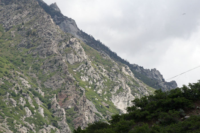
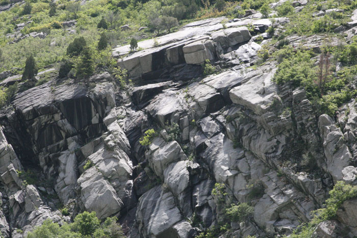
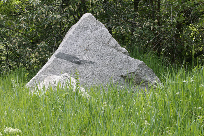
Near the peaks of these cliffs is the place from where these stones fell thousands, perhaps millions of years ago.

You can still clearly see the fracture lines in the face of the rock. Granite always fractures along square lines making it an ideal construction material.
Another marker tells how the stones were transported by Ox team until the railroad came through in 1869.
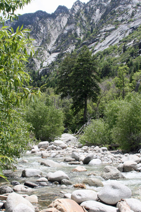
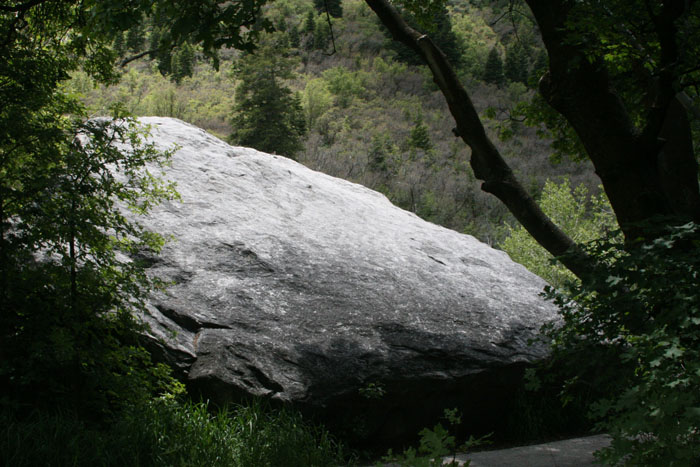
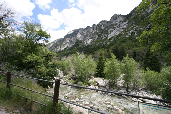
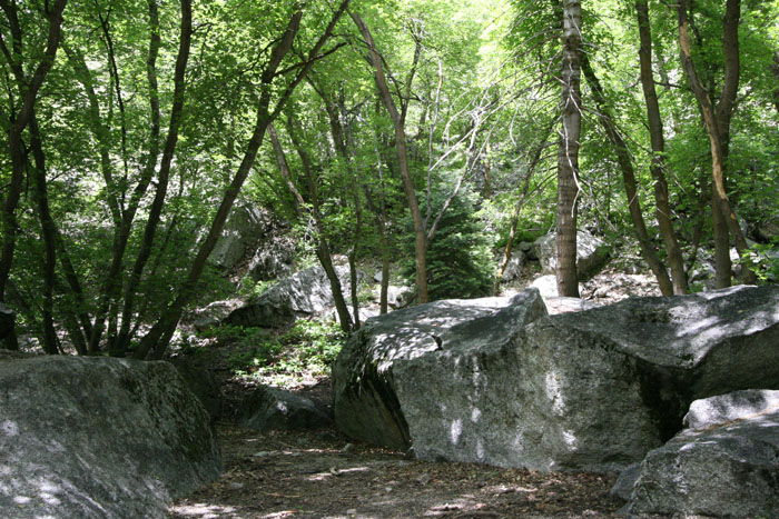
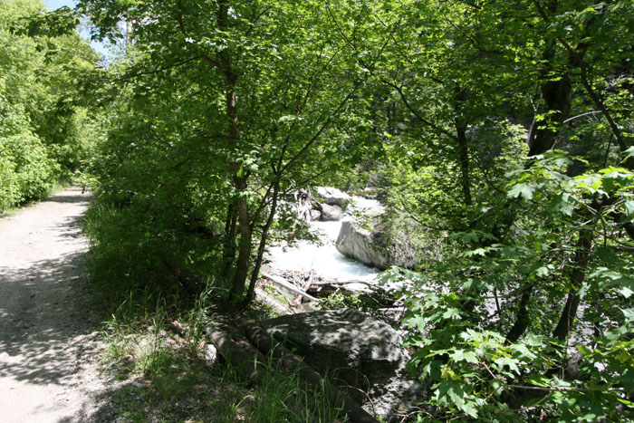
Here's a long shot of this beautiful canyon and the creek that runs through it. They say the rounded boulders are a left over from the last ice age.
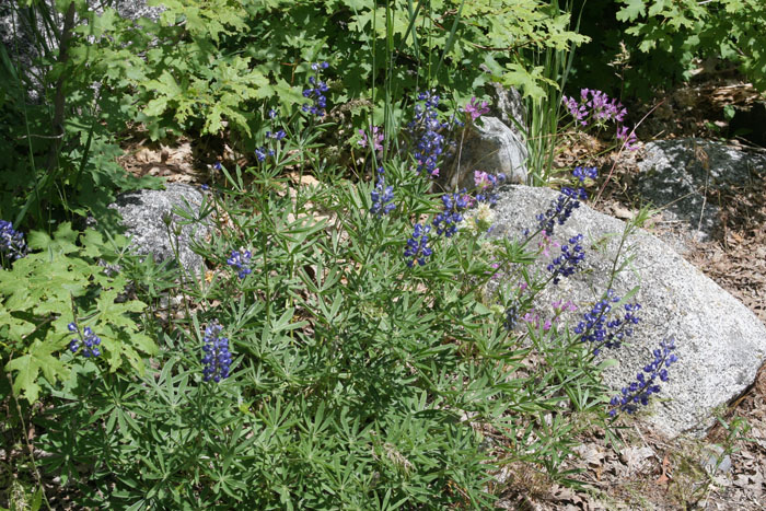
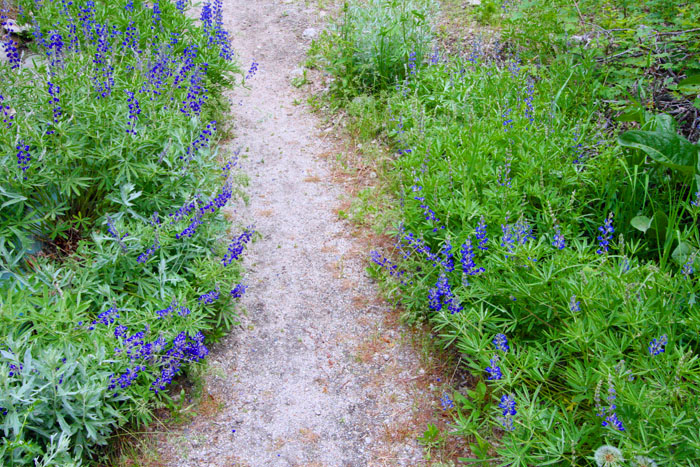
We noticed some of the wild flowers that grew here. Linda got some good photos of them.
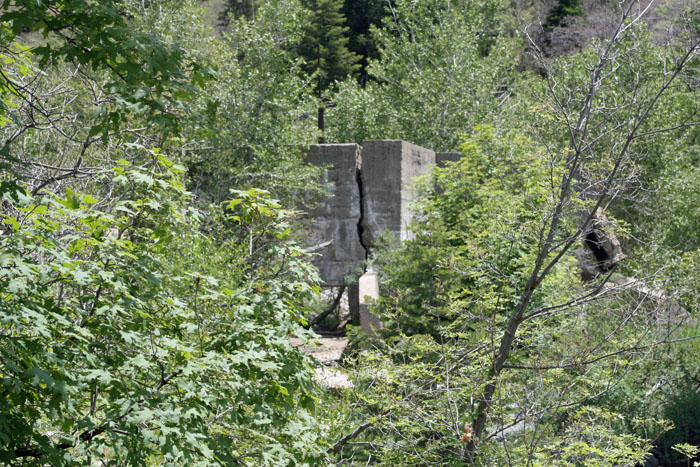
There were also pieces of structures left over from a bygone era.
Not used to wasting an available resource, the pioneers that quarried this canyon used these round river stones to build several walls.
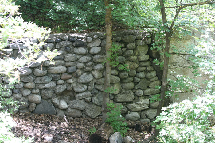
The size of some stones was impressive. This one was roughly the size of a dump truck.
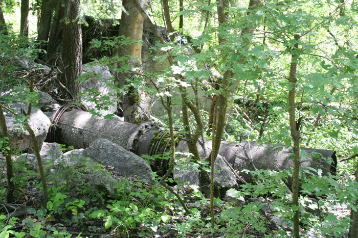
After a time, the force of the water was used to provide electricity.
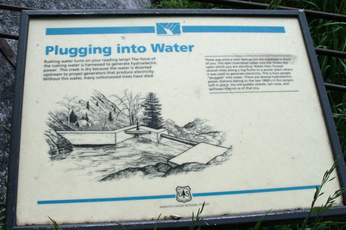
These are the remains of an old power plant.
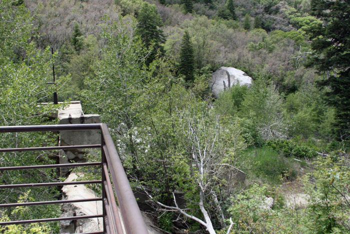
Notice how it is situated right at the water's edge.
Back down the trail, we passed through some cool areas that were much appreciated. The shade shielded us from the summer sun (say that 5 times really fast).
I guess I went overboard enhancing this pic Linda took. I wanted to bring out the true colors of these flowers. Sometimes the bright sun washed out the colors. These blues are more near what they looked like.
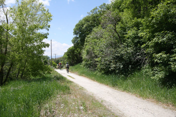
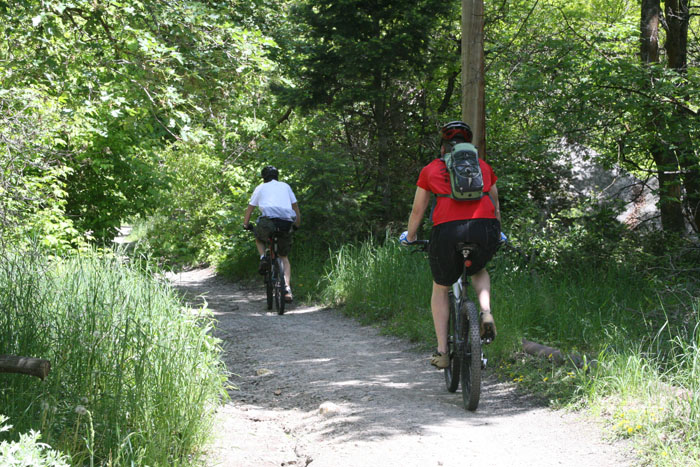
We were passed by many bikers as we went further up the trail. Sometimes bikers travelled alone ...

... and sometimes they were in groups of 2 or 3.
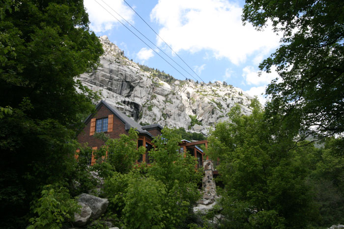
There were also a few very beautiful mountain cabins or homes whose back yards bordered on the trail.
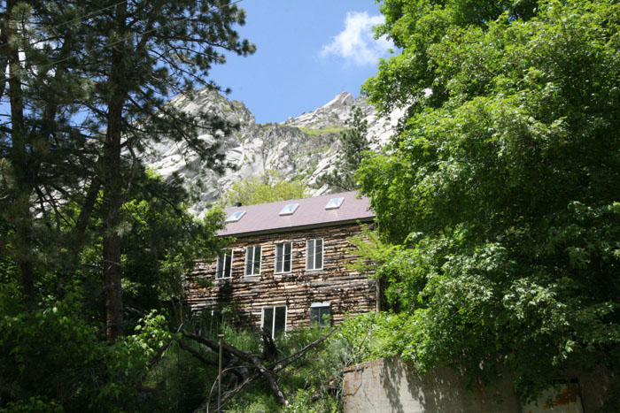
This is one of the prettier homes.
Farther up the trail it got even more shaded. Ah, welcome shade.
By the time we reached this little cove, we were ready for a rest. It was so cool here we could quickly cool off and move on.
At times the trail and the water were quite close to each other.
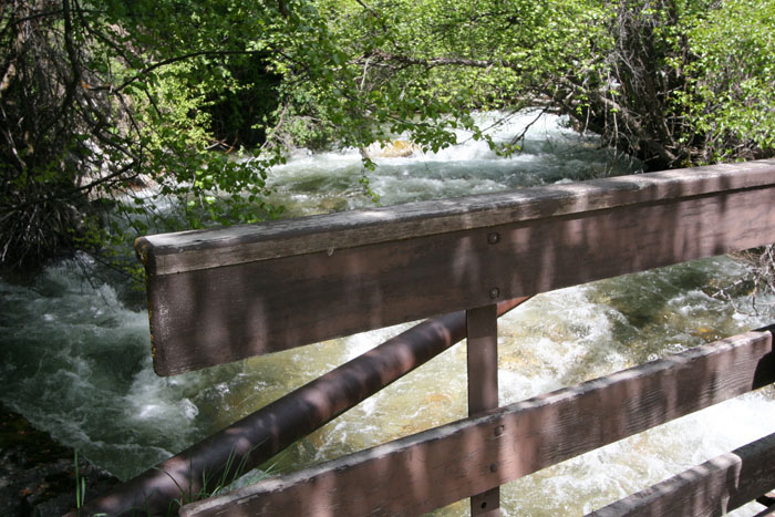
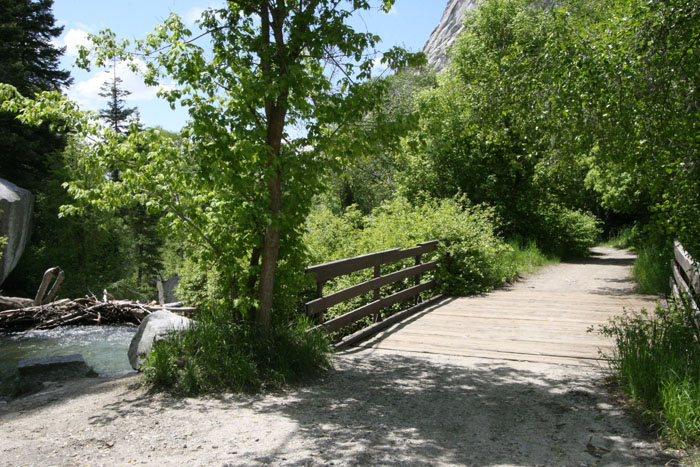
Somewhere above mid-point along the trail we spotted this little bridge that led to the other side of the creek.
It was fun to capture photos of the waters swollen with runoff from the melting snows.
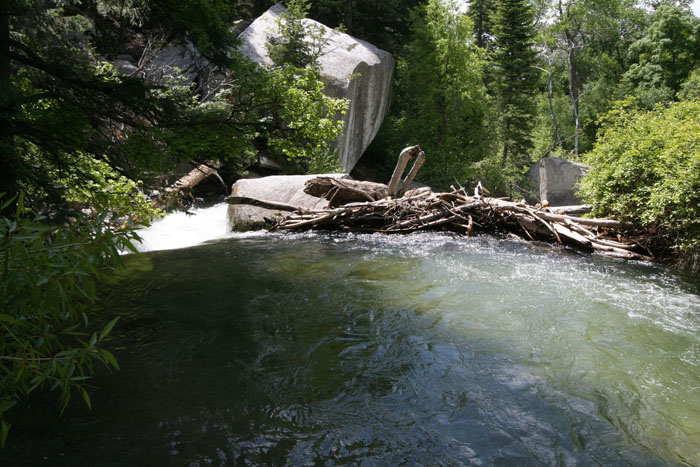
On the other side of the bridge, there was a dam. I couldn't tell if it was a beaver dam or one that got created from floating debris.
Here's a better shot of the bridge.
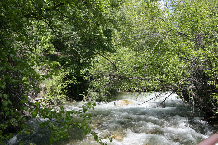
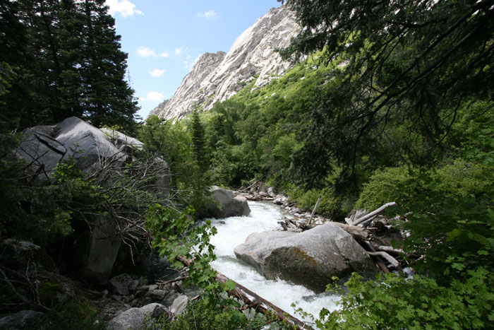
And a long shot of the rushing creek taken from the bridge.
You can see how wild the water looked in this closeup.
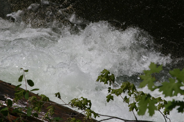
This "moving GIF" image gives you some idea of how wild the waters were.
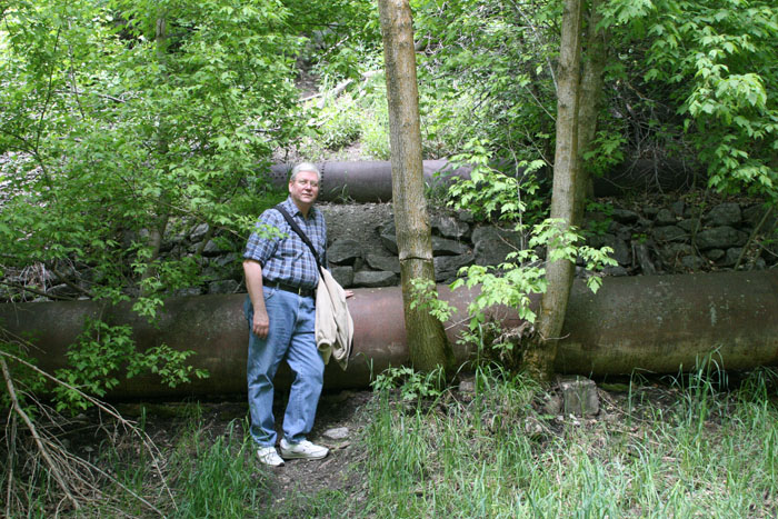
All along the upper part of the trail there were abandoned pipes of various sizes laying on the ground.
The trail seemed to get more and more narrow the further we went up it.
And the scenery got more and more beautiful.
More bikers.
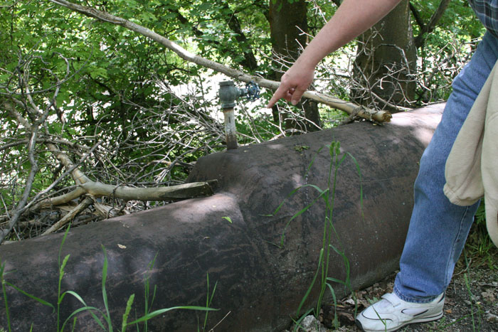
I asked Linda to take several photos of the different types of abandoned pipes. I thought this one looked at least 100 years old.
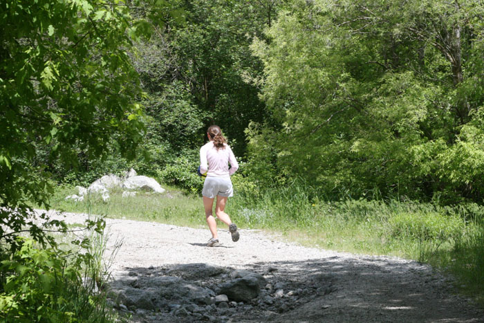
At times there were also joggers on the trail.
Sorry to flip back and forth but I wanted to show this very unusual pipe weld.
Some of the stones were equally interesting.
Not all pipes on the trail were antiques.

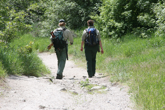
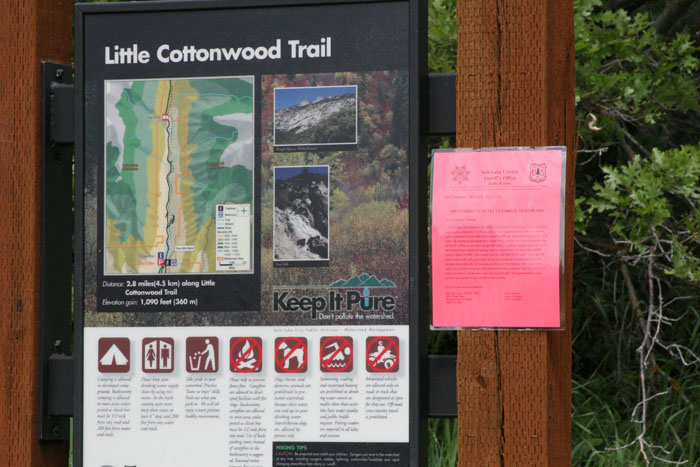
These two rangers gave us a pamplet about the trail. They were very courteous and informative.
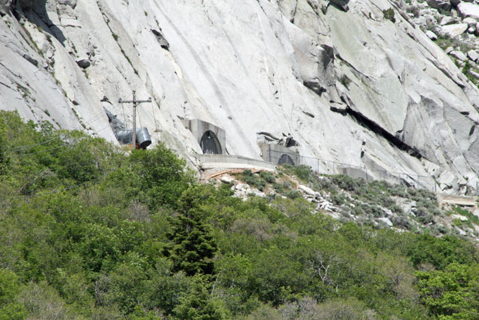
One treat along the trail was a point where I could set up the tripod and telephoto lens and catch this pic of the granite mountain storage vaults across the canyon.
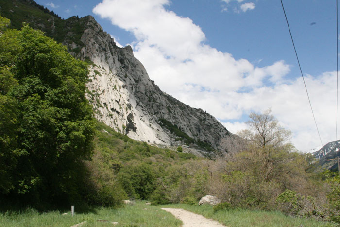
The view of the canyon and widening trail from this point was truly magnficent.
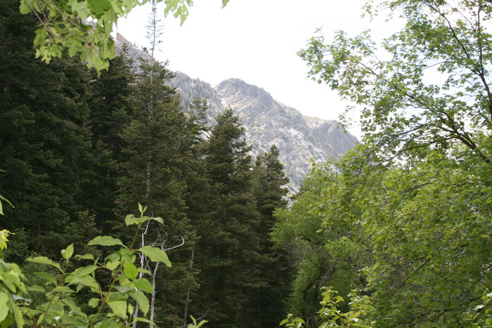
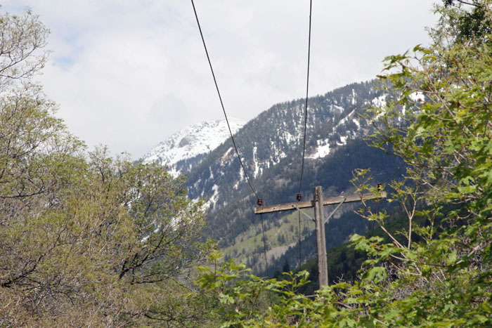
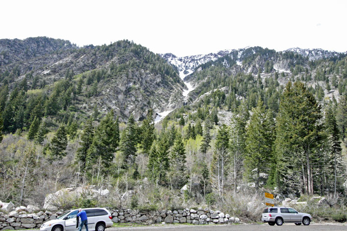
We began to notice snow on the higher elevations. We were getting closer to the resort areas.
These markers say the distance along the trail was nearly 3 miles.
And here's a long shot of it.
We decided not to walk the entire trail. Instead we turned around and walked back downhill to the car. From there, we drove up the canyon to another stopping point where there was quite a bit of snow. The sign says the elevation was, at that point, a little over 7,000 feet.
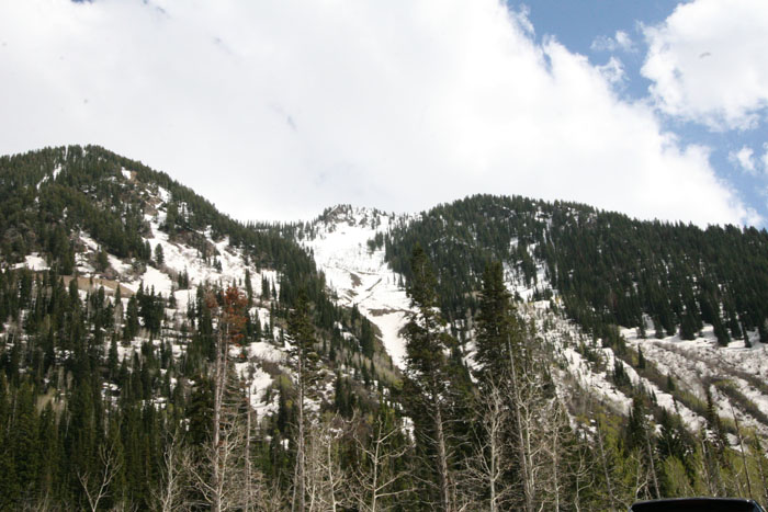
From our viewpoint, you can still see plenty of snow at the higher elevations. At these heights snow can fall any month of the year. We heard weather reports of snow fall in August (2008) above 8,000 feet.
This pic gives you a better idea of just how much snow still remained in June from the winter's snow fall.
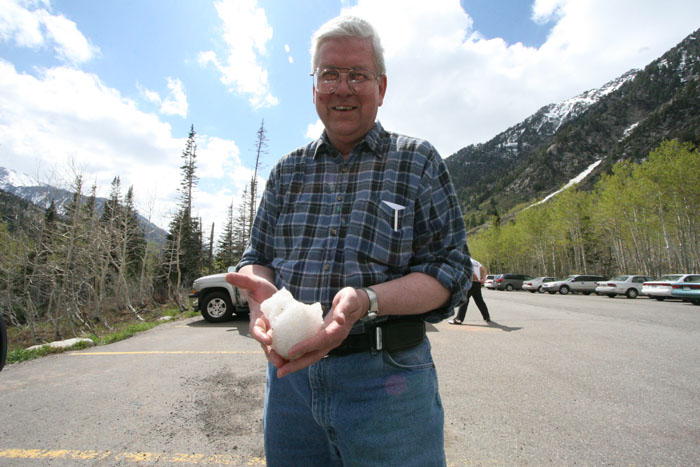
Ok, so I'm a ham. I couldn't resist showing off a snow ball in June.
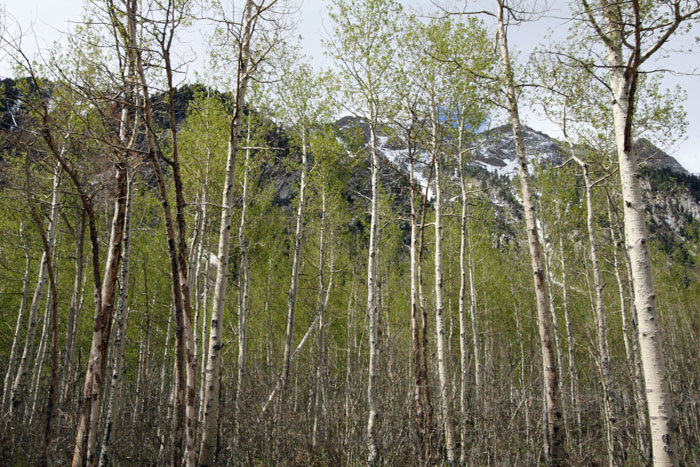
And here's our parting photo, the snow capped mountains through the budding aspens. Pretty neat, isn't it?
~ END ~